NASA’s Earth Science Division is hosting a webinar on March 25, focusing on Satellogic, a vendor participating in the Commercial SmallSat Data Acquisition (CSDA) program. The webinar aims to showcase the satellite data products and services Satellogic provides to support scientific research and Earth observation initiatives.
Overview of the CSDA Program
The Commercial SmallSat Data Acquisition (CSDA) program is NASA’s effort to acquire commercial satellite data to accelerate Earth science research. The program partners with commercial vendors like Satellogic to obtain high-resolution imagery and analytics from small satellites in low Earth orbit.
CSDA’s goal is to integrate commercial data more deeply into NASA’s research workflows, enabling scientists to monitor environmental changes, natural disasters, and other key Earth system processes with greater frequency and resolution.
Satellogic’s Satellite Data Capabilities
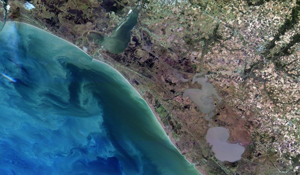
Satellogic operates a constellation of high-resolution Earth observation satellites designed to capture frequent and detailed imagery of the planet’s surface. Their technology offers multispectral and hyperspectral data, which is valuable for studies in agriculture, forestry, urban development, and climate science.
The company’s satellites utilize advanced sensors and agile tasking to deliver on-demand data, making the imagery accessible for a wide range of applications including environmental monitoring and natural resource management.
Webinar Details and Objectives
The upcoming webinar scheduled for March 25 at 2:00 p.m. EDT will provide an opportunity for researchers and users to learn directly from Satellogic representatives about the types of data available through the CSDA program. Attendees will gain insights into how to access the data, the quality and characteristics of the imagery, and potential use cases for scientific analysis.
The session will also include a question-and-answer segment to address specific user inquiries, promoting interaction between the vendor and the NASA Earth science community.
Implications for Earth Science Research
Access to commercial satellite data through vendors like Satellogic enhances NASA’s capacity to conduct timely and comprehensive Earth system observations. By integrating this high-resolution data, researchers can improve models of environmental phenomena, track changes with greater precision, and support decision-making in areas such as disaster response and land management.
The collaboration within the CSDA program reflects a growing trend toward leveraging commercial capabilities to complement government satellite missions, expanding the breadth and depth of available Earth observation data.
How to Participate and Register
Researchers, scientists, and anyone interested in Earth observation data services are invited to join the webinar. Registration details and participation instructions are available on the NASA Earth Science website. The session is designed to facilitate broader awareness and utilization of commercial satellite data within the scientific community.